Satellite Imagery Annotation: Challenges and Solutions
Discover how to tackle the biggest challenges of satellite imagery and geospatial data annotation. Learn which tools are available to you.
Annotate images, video, documents, and satellite imagery for perception models that operate in the real world. Cut labeling time by 50–70% and launch 100+ use cases in a single platform. Deploy in the cloud, in a hybrid configuration, or entirely on your own infrastructure.

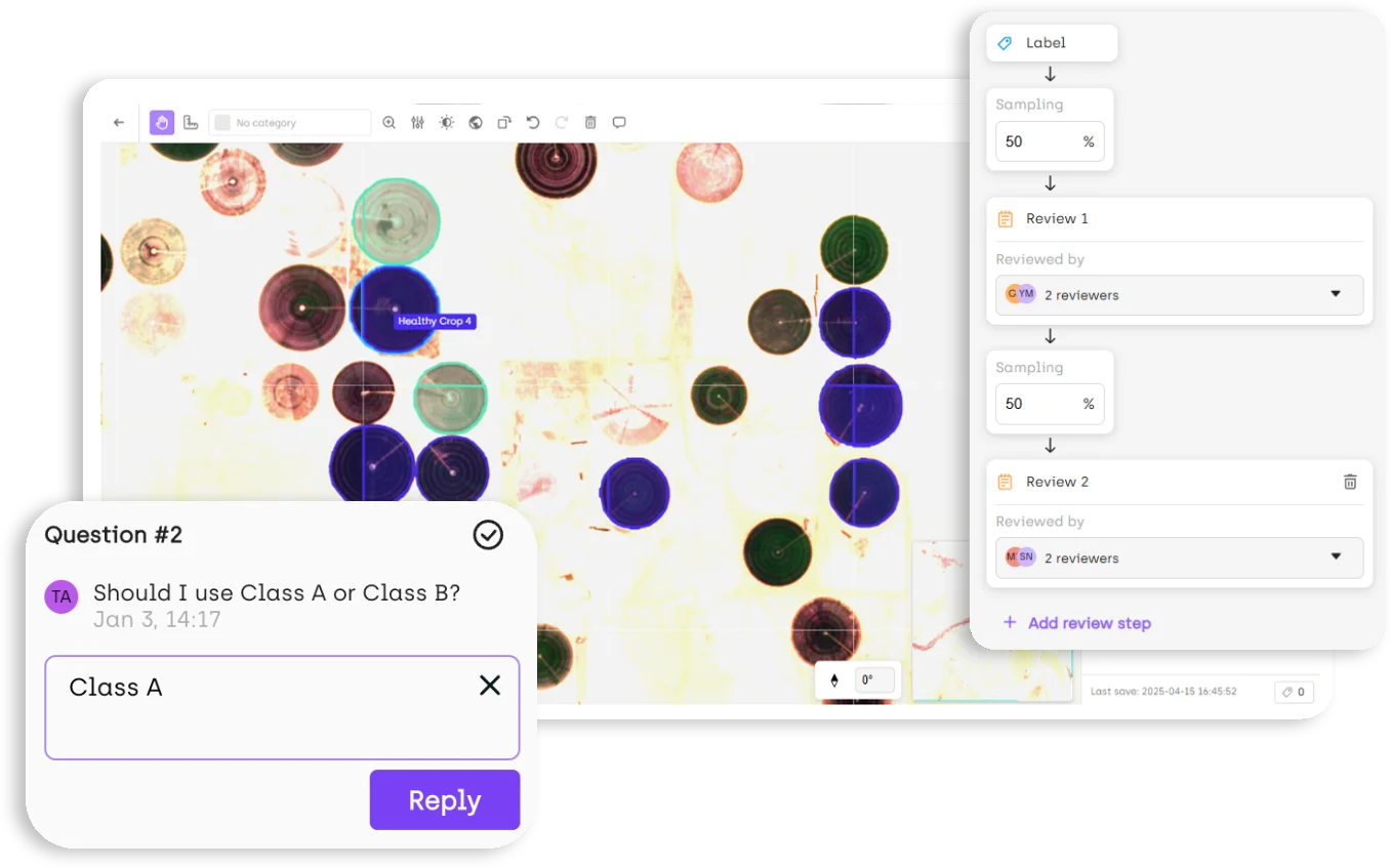
The expensive labeling error is the one you find after training. Kili sets quality controls at the project level, before the first label is drawn: Python validation rules check every submitted annotation and send failures back automatically, consensus workflows quantify how much annotators actually agree on ambiguous assets, and review steps go to named reviewer groups rather than the next available reviewer.


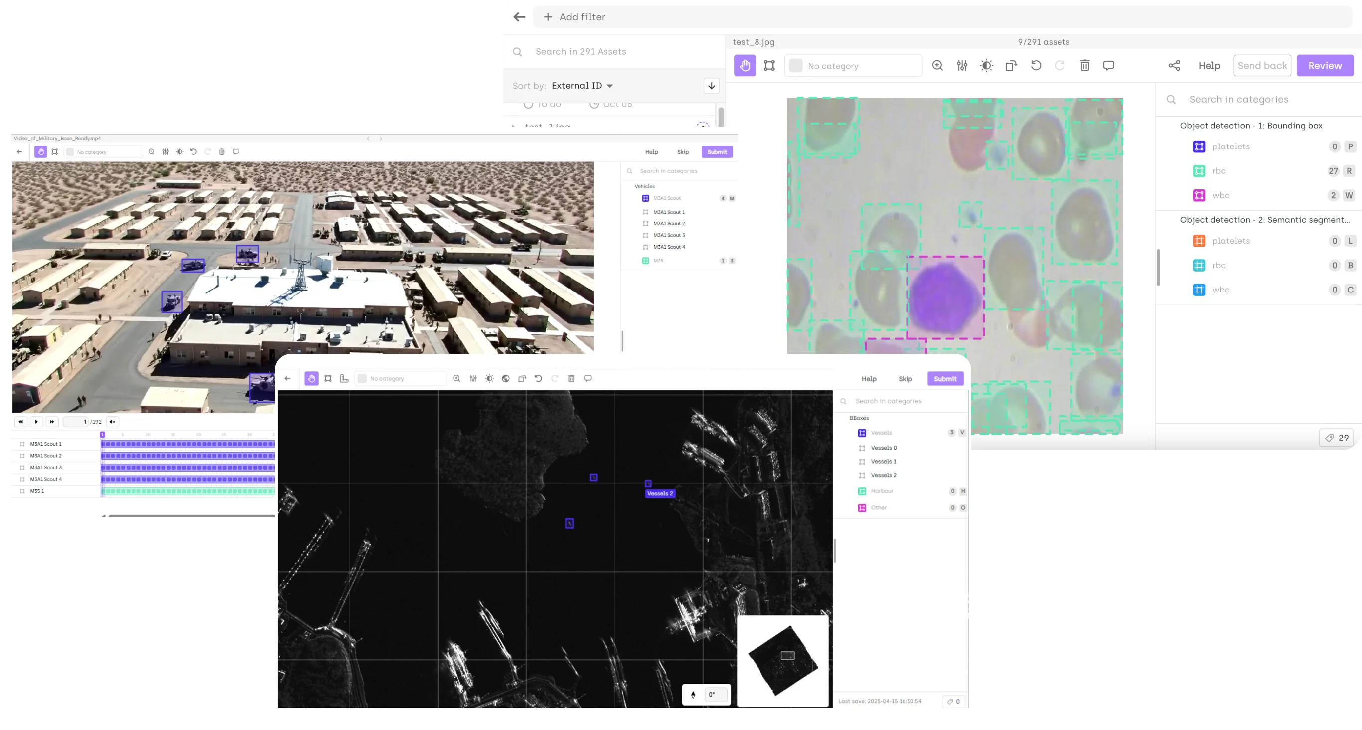
Images, video, documents, and satellite imagery run through the same platform, the same ontology structure, and the same review workflows — so quality doesn't mean something different in every system. Teams have gone from a single pilot to 100+ use cases within months without changing tools, scaling to millions of assets and hundreds of annotators across concurrent projects. Long video runs on keyframes, with bounding-box tracking and interpolation filling the sequence.
Adding a new modality means creating a project, not running a second procurement cycle.

Deployment usually decides whether a project starts this quarter or next. Run Kili on your own Kubernetes or Docker infrastructure with no internet or root access required after installation, or keep the platform managed while your raw imagery stays in your own storage. Both are named hosting modes in the contract, so legal gets data-residency boundaries in writing rather than a support-ticket answer.
Headquartered in Europe, certified SOC 2 Type II, ISO 27001, and HIPAA, with access granular by project and role.
.webp)

Kili Technology is a complete data suite that supports all data types and handles specialized formats for domain-specific requirements.

Domain expertise doesn't scale by hiring. Kili's annotation capacity comes from a vetted partner network of specialists in medical imaging, aerial and satellite interpretation, industrial inspection, and automotive and robotics perception — which means a new modality or a volume spike is a matching problem, not a recruiting cycle. Kili's data scientists manage the project and hold every partner to the same review workflows and quality thresholds.


You can also check out our documentation to learn more about our features. We're ready when you are.
Stay up to date with fresh content from our team — tutorials, use cases, and ideas to help you train AI/ML models better.
Got questions about Kili Technology? Check out our FAQ. If you can't find it in this list, drop a question for our team.
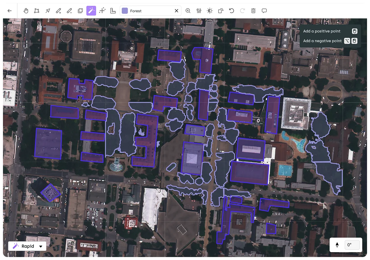
Bounding boxes, polygons, points, lines, vectors, semantic segmentation including interactive segmentation with SAM 2, pose estimation and keypoints, and object tracking across video frames. Each project defines its own ontology, including nested classifications and relations between objects.
Yes. Annotators label keyframes rather than every frame — bounding-box tracking and automatic interpolation fill the frames in between. Assets are distributed automatically across annotators and locked during editing to prevent conflicts on large teams.
Yes. Robotics and embodied AI teams use Kili for perception datasets built from continuous video — object detection, tracking, and keypoint annotation — and for pose estimation and segmentation on extracted image frames, with consensus workflows applied to the ambiguous cases field footage produces in volume.
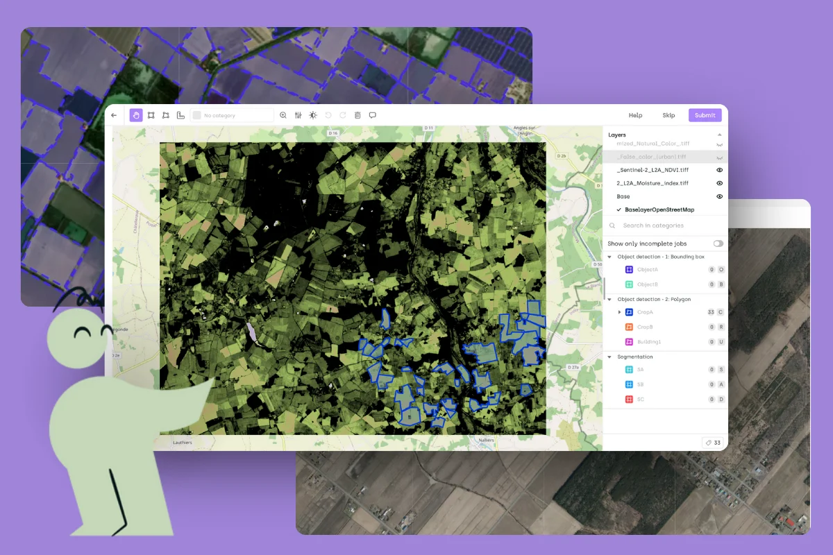
Yes. Geospatial projects support coordinate reference systems, resampling settings, external layer integration, and affine transformation for RPC imagery, with export to GeoJSON.
Learn how Kili Technology has changed the way these teams train, fine-tune, and evaluate their models.