.svg)
.svg)
.svg)


September 8, 2025
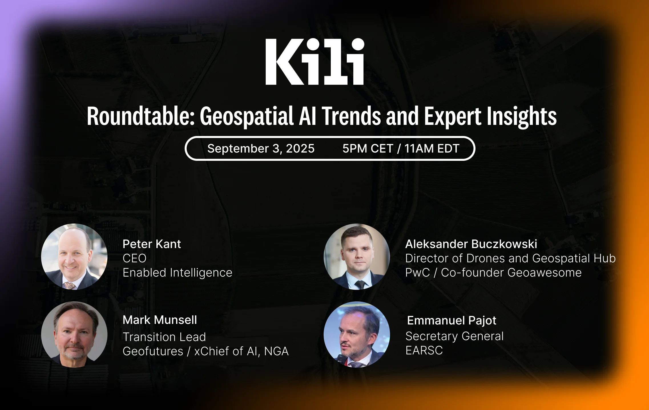
What Works in Geospatial AI: An Expert Analysis
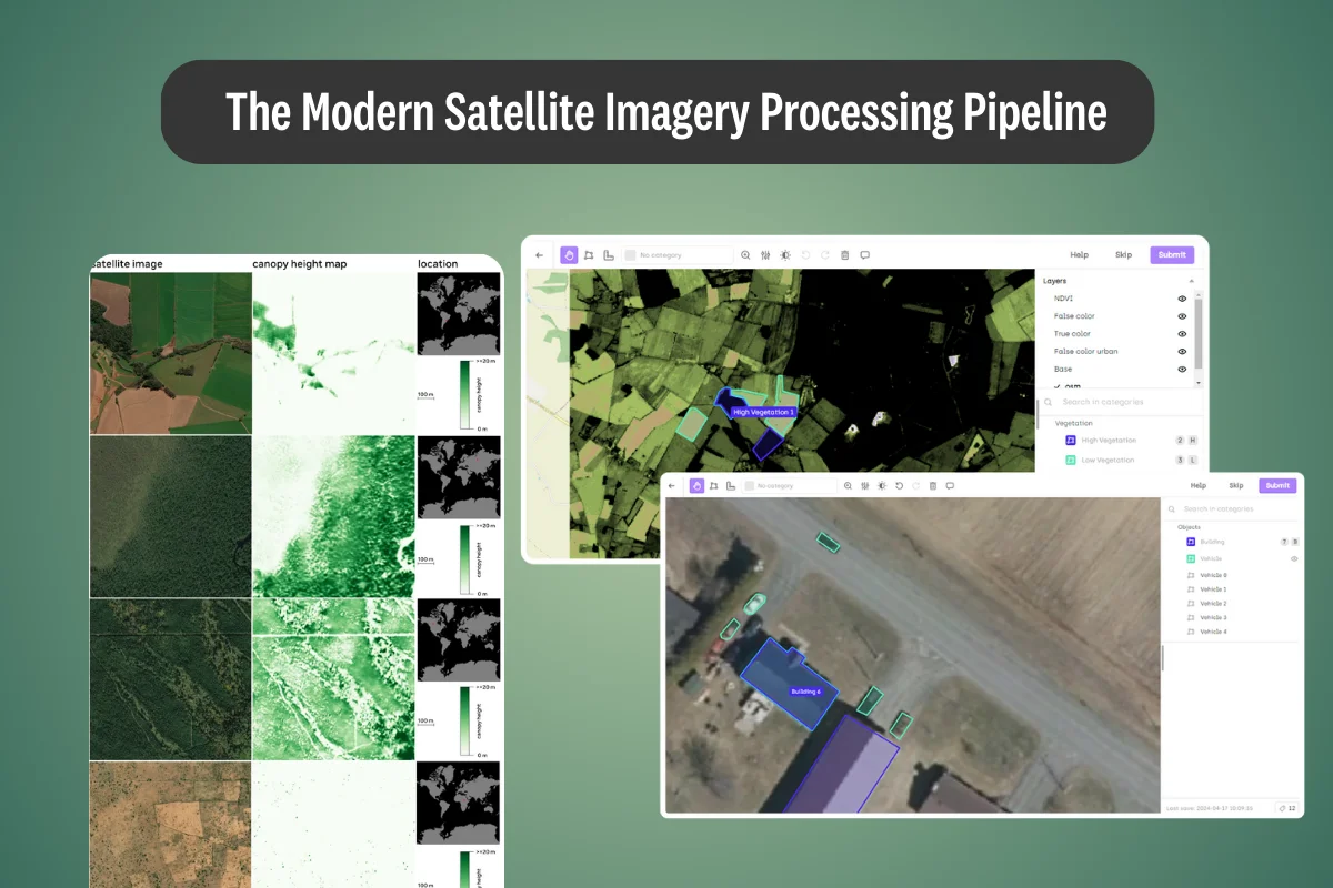
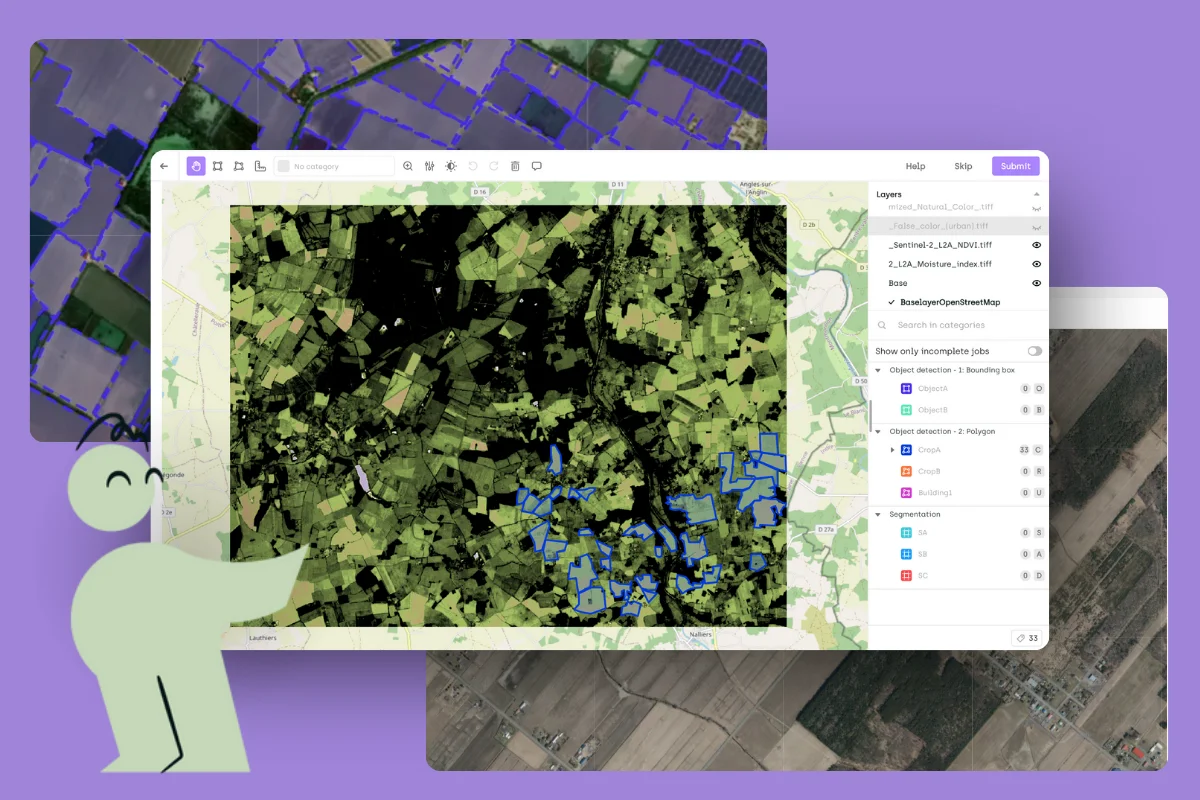
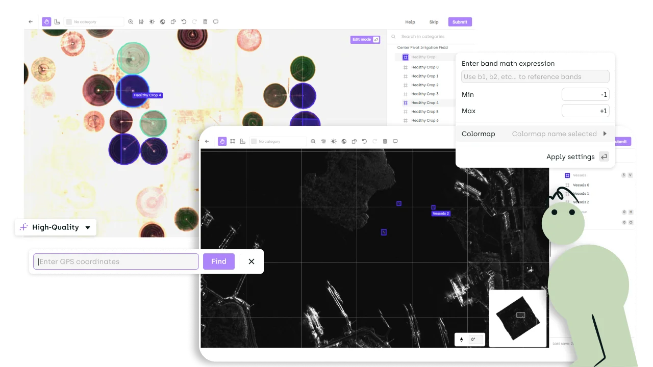
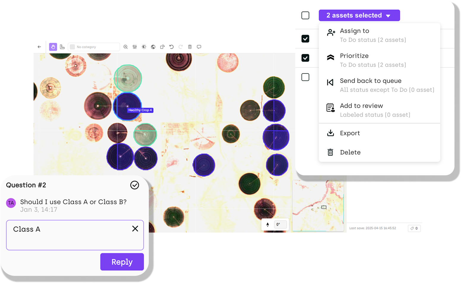
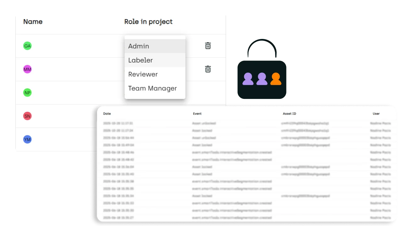
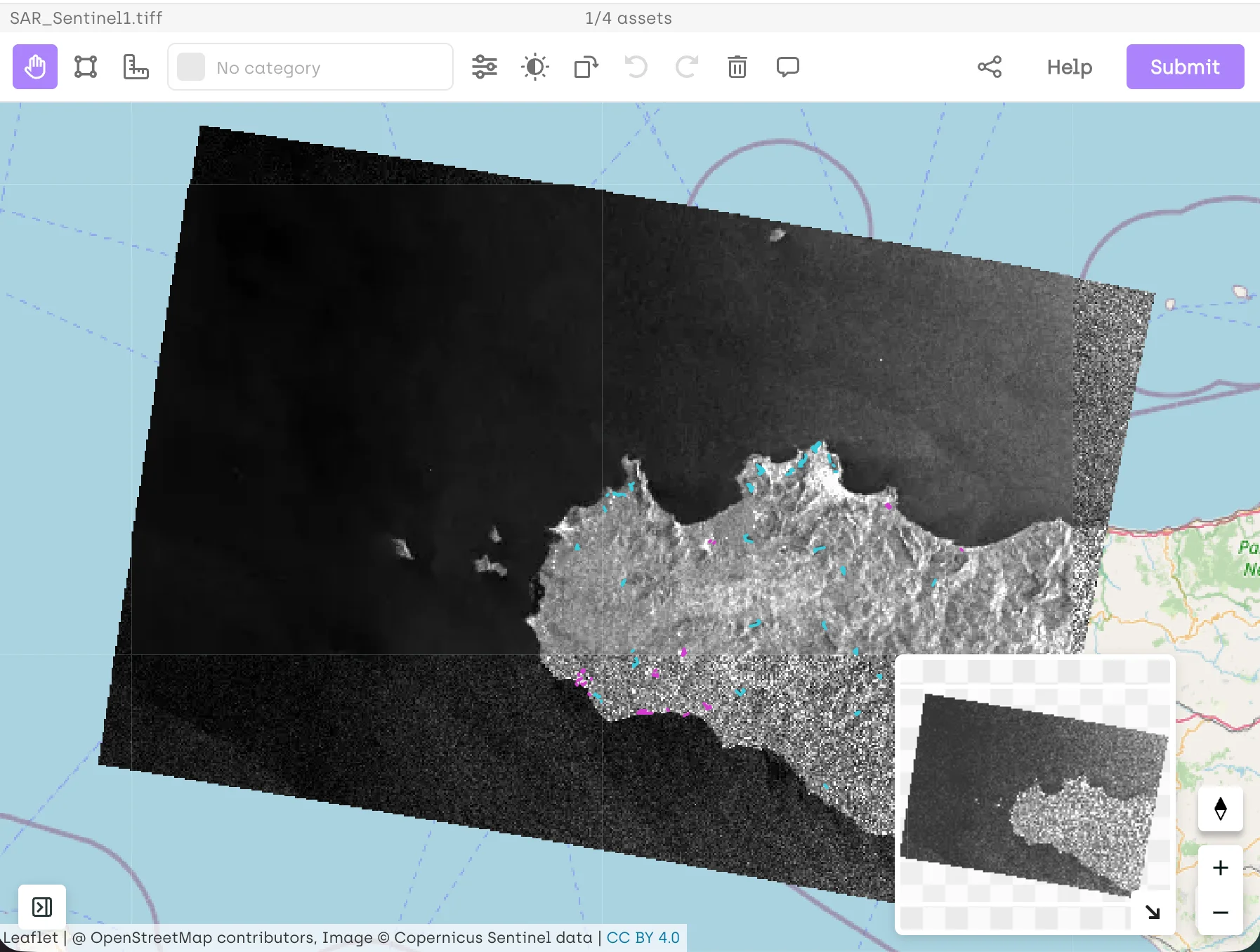
This article synthesizes insights from Kili Technology's recent geospatial AI roundtable discussion featuring industry experts from government, consulting, and technology sectors. Our panelists shared real-world implementation experiences, revealing critical gaps between AI promises and production realities while providing actionable guidance for organizations evaluating their geospatial AI strategies.
.png)