Comparisons

The Top QGIS Alternative for Geospatial Annotation

While QGIS offers powerful open-source GIS capabilities, geospatial data scientists working with satellite imagery, aerial photographs, and large datasets quickly discover its critical limitations for annotation workflows. When your work demands precision, scalability, and efficiency at enterprise scale, Kili Technology provides the solution.

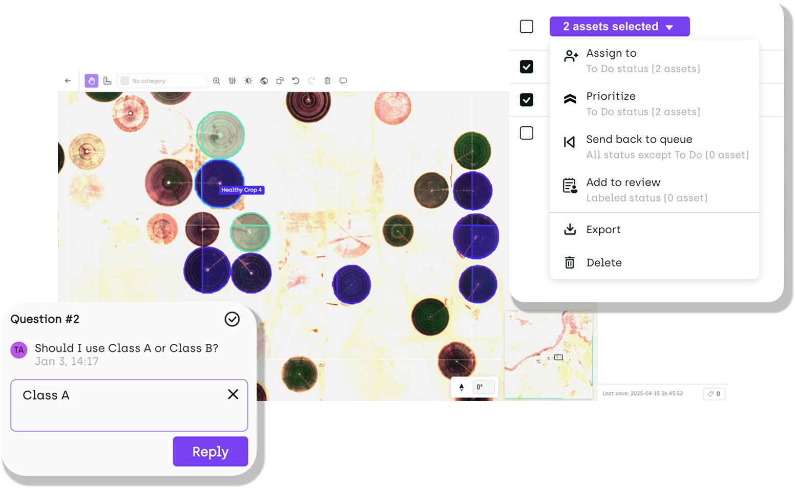
Easy scalability of teams and projects
Built-in quality control workflow for annotation teams
Built-in real-time collaboration features

Trusted by the world leaders

Features

Performance and Workflow Limitations with Large Datasets

When working with large geospatial datasets, QGIS falters with basic operations and annotation workflows alike, creating significant bottlenecks for data scientists.

Kili Technology's intelligent memory management, AI-powered annotation, and native support for specialized formats deliver the performance and efficiency QGIS lacks.

  • Stable performance with multi-gigabyte datasets
  • AI-assisted labeling reduces manual work by 70% compared
  • One-click GPS coordinate precision
  • Native multi-spectral support eliminates need for external plugins
  • Built-in quality control ensures consistency across annotation teams

Evaluate our Tool
Features

Integration and Compatibility Challenges

QGIS faces significant hurdles with enterprise workflows, requiring extensive technical expertise and workarounds for basic integration tasks. Kili Technology ensures seamless integration with enterprise systems, cloud platforms, and diverse GIS formats, eliminating compatibility roadblocks.

  • Native support for GeoTiff, JP2, NITF formats without configuration
  • Direct connections to AWS S3, Google Cloud Storage, Microsoft Azure
  • Seamless coordinate reference system compatibility
  • Export annotations with embedded geodata for GIS-ready workflows
  • Robust API access for custom workflow integration
Evaluate our Tool
Features

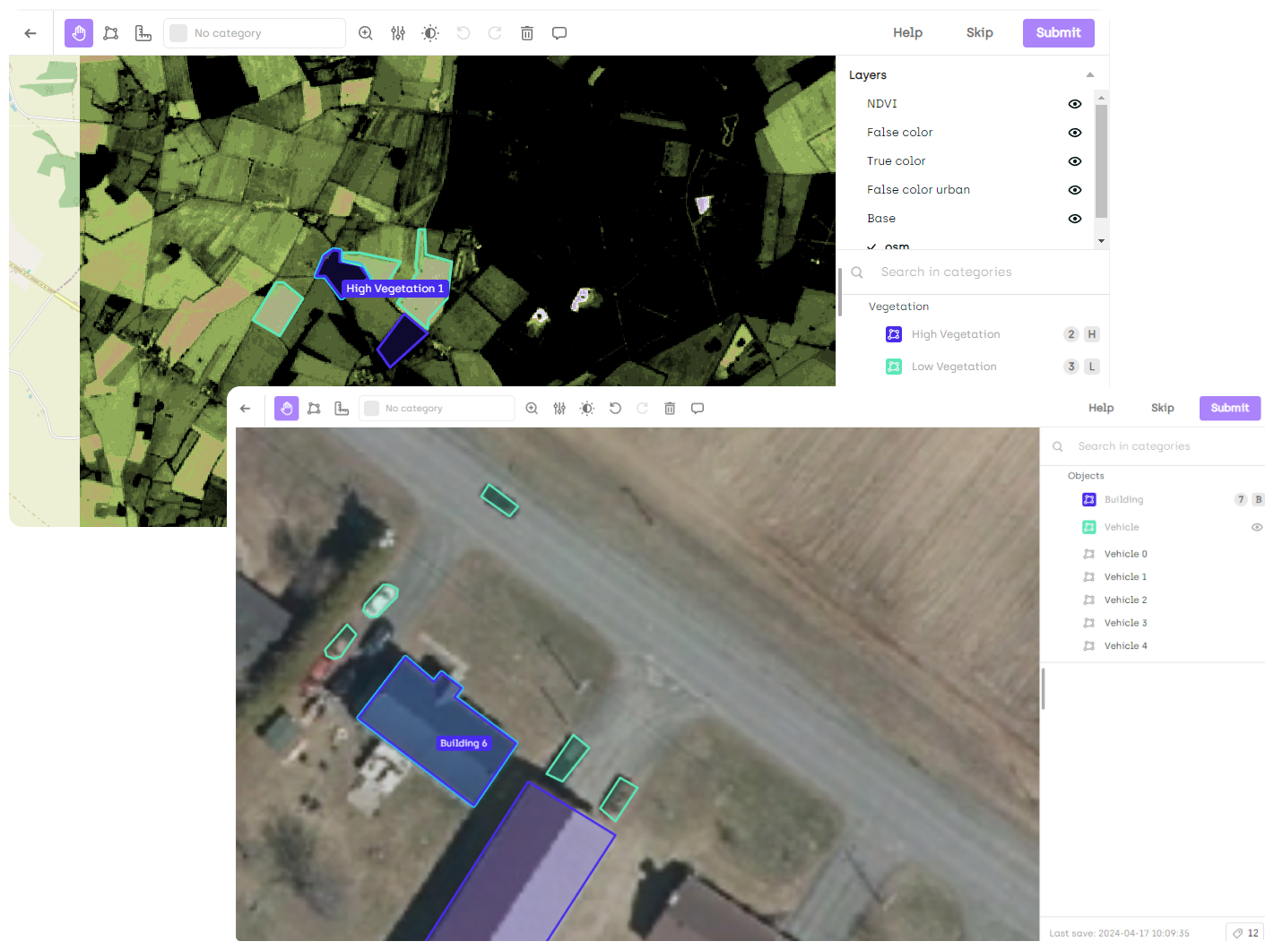
Purpose-Built for Professional Geospatial AI/ML Data Workflows

QGIS faces significant hurdles with enterprise workflows, requiring extensive technical expertise and workarounds for basic integration tasks. Kili Technology ensures seamless integration with enterprise systems, cloud platforms, and diverse GIS formats, eliminating compatibility roadblocks.

  • Native support for GeoTiff, JP2, NITF formats without configuration
  • Direct connections to AWS S3, Google Cloud Storage, Microsoft Azure
  • Seamless coordinate reference system compatibility
  • Export annotations with embedded geodata for GIS-ready workflows
  • Robust API access for custom workflow integration
Evaluate our Tool
Testimonials

Trusted by teams around the world

We listen closely to our users — and build with their feedback in mind. Their success is what drives us forward.

I have been using Kili for 6 months now on a wide range of labeling use cases (both in computer vision and natural language processing). The stability offered by the tool is essential when you have tight deadlines and large volumes of data to annotate. Our team of over 1000 workers is accustomed to the tool, we were able to easily integrate our workforce management tool with Kili with the SSO functionality.
Kili is a powerful and easy-to-use tool for data labeling and annotation. The interface is user-friendly and offers several interesting features. The customer support team is also responsive and helpful.
Software to engage both labelers and business lines in the necessary but tedious task of labeling and annotation, served by a dedicated team to listen to your problems.
Thanks to the fact that our AI infrastructure now includes Kili Technology, we can use the tool for all kinds of projects... LCL teams can accelerate drastically the creation of their training datasets, which means a significant improvement for all the parties involved.
With the choice of Kili, we are much more confident about the future. We decided to eliminate a large part of the technical debt by choosing a solution that will be perfectly mastered across a whole range of data science and AI projects.
Blog

More Resources

Stay up to date with fresh content from our team — tutorials, use cases, and ideas to help you grow.

FAQ

Need help?

Whether you’re a small startup, a growing mid-sized business, or a large enterprise, we’re here to make things simple and support you at every step.

What are the main differences between Kili and QGIS for annotating satellite or aerial imagery for AI models?
How many annotators can work simultaneously on large geospatial projects?
What annotations are available for geospatial data?
What geospatial file formats does Kili Technology support?
What deployment options are available for sensitive geospatial data?