The Top QGIS Alternative for Geospatial Annotation
While QGIS offers powerful open-source GIS capabilities, geospatial data scientists working with satellite imagery, aerial photographs, and large datasets quickly discover its critical limitations for annotation workflows. When your work demands precision, scalability, and efficiency at enterprise scale, Kili Technology provides the solution.
Trusted by Geospatial Data Scientists

[1]
Performance and Workflow Limitations with Large Datasets
When working with large geospatial datasets, QGIS falters with basic operations and annotation workflows alike, creating significant bottlenecks for data scientists.
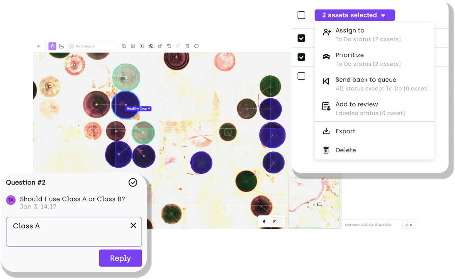
Kili Technology's intelligent memory management, AI-powered annotation, and native support for specialized formats deliver the performance and efficiency QGIS lacks.
Stable performance with multi-gigabyte datasets
AI-assisted labeling reduces manual work by 70% compared
One-click GPS coordinate precision
Native multi-spectral support eliminates need for external plugins
Built-in quality control ensures consistency across annotation teams
[2]
Integration and Compatibility Challenges
QGIS faces significant hurdles with enterprise workflows, requiring extensive technical expertise and workarounds for basic integration tasks. Kili Technology ensures seamless integration with enterprise systems, cloud platforms, and diverse GIS formats, eliminating compatibility roadblocks.
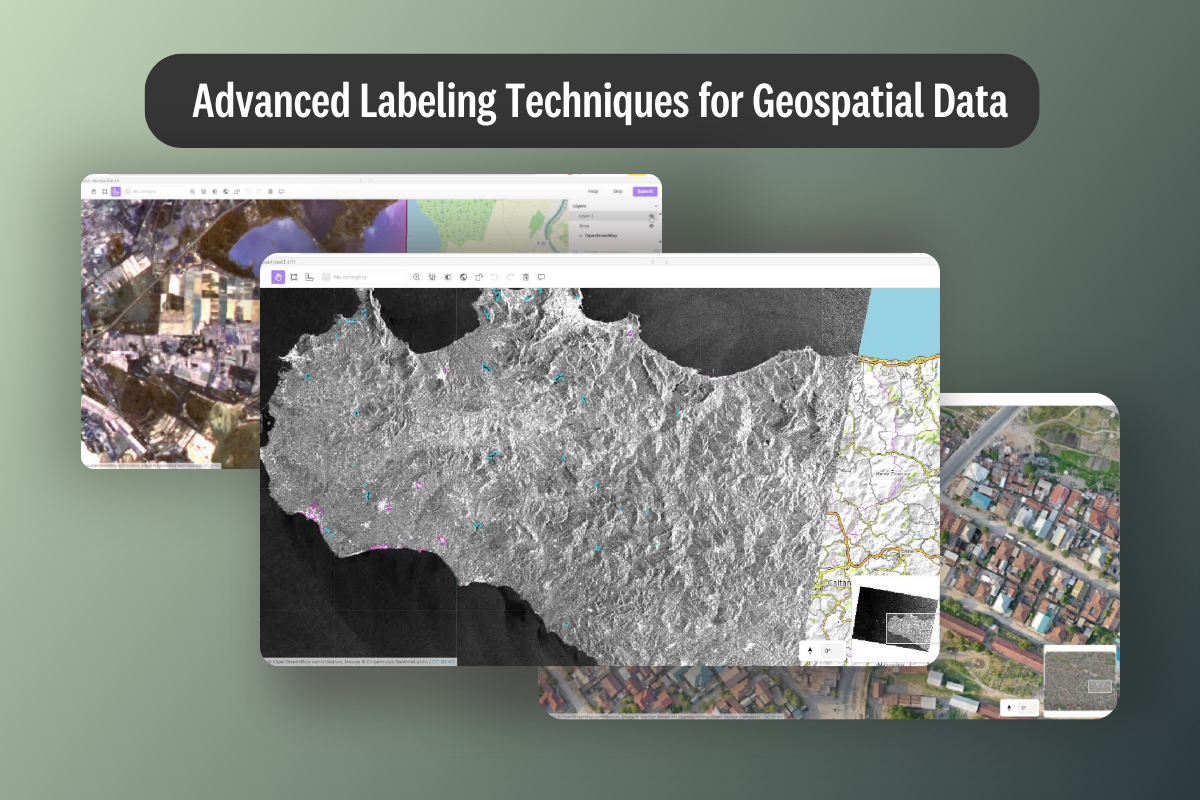
Native support for GeoTiff, JP2, NITF formats without configuration
Direct connections to AWS S3, Google Cloud Storage, Microsoft Azure
Seamless coordinate reference system compatibility
Export annotations with embedded geodata for GIS-ready workflows
Robust API access for custom workflow integration

[3]
Purpose-Built for Professional Geospatial Annotation
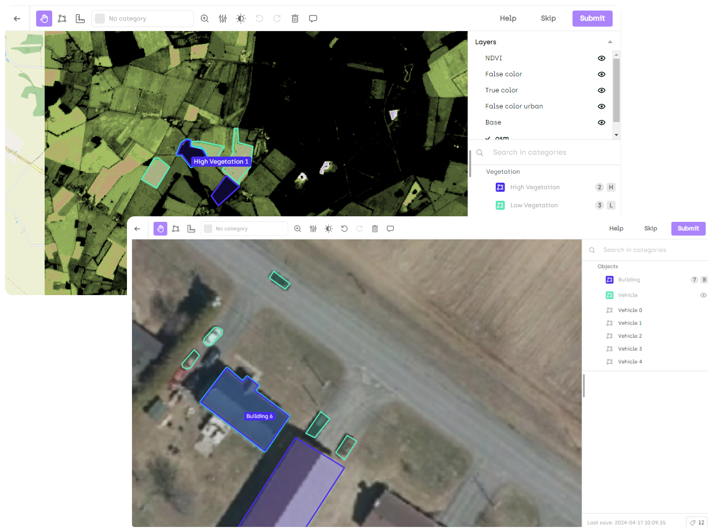
Unlike QGIS, which requires extensive configuration and technical workarounds for annotation tasks, Kili Technology offers purpose-built tools for professional geospatial data scientists.
Precise geo-referencing with real-world coordinate accuracy
Multi-spectral layering for beyond-RGB imagery analysis
Automated predictions with SAM2 or custom models
3x faster data importing compared to QGIS approaches
Slippy maps for smooth navigation through massive datasets
[4]
Superior Geospatial Labeling Precision
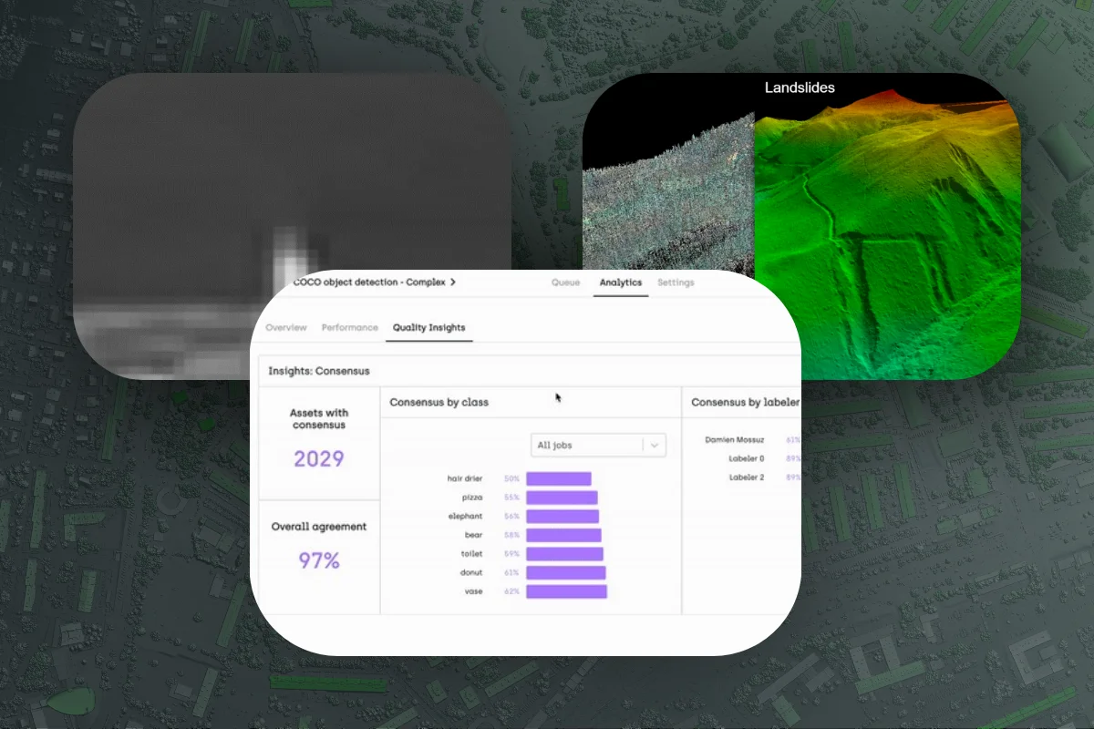
QGIS lacks the comprehensive quality control infrastructure essential for professional annotation teams, requiring custom solutions and manual processes that slow down workflows and compromise accuracy. Kili Technology has built-in quality control features that automate validation, track annotator performance, and deliver enterprise-grade accuracy that QGIS cannot match natively.
Inter-annotator agreement metrics track consistency across teams
Honeypot testing identifies and corrects annotation errors automatically
Automated validation rules prevent common labeling mistakes
Consensus mechanisms evaluate annotation quality across multiple annotators
Human-in-the-loop verification for mission-critical accuracy
[5]
Protecting Your Geospatial Data
We prioritize the security of your data as much as its accuracy. With advanced data bucket management and versatile deployment options, our platform ensures that your labeled data remains secure and compliant with top industry standards.
On-premise, hybrid, cloud deployments available
Advanced and highly customizable access management
ISO27001 certified and SOC2 certified
A professional workforce to scale faster
For companies and institutions needing faster scaling, Kili Technology has a global network of highly trainable professional geospatial annotators. Our platform's collaborative and quality features allow you to keep full control to monitor and iterate on your dataset.
Discover our networkThey Trust Us
Geospatial Resources
Frequent Questions
Geospatial data, also called geospatial imagery, satellite imagery or aerial imagery, are images taken from satellites. They are usually in specific data types: GeoTIFF as well as .acs and .img. Geospatial annotation is the action of labeling geospatial data to train machine learning models.
Kili Technology platform is different because we put quality at the core of our product. Many low-cost labeling tools focus on improving labeling productivity, which we do as well, but disregard the focus on creating quality training data. For instance, you can inspect the data distributions of your annotation and detect mistakes. Kili Technology is a training data platform where the annotation process is dedicated to data quality.